Recently, another large-scale high temperature has hit many places in my country. The surface temperature in some areas has reached 70°C, and the body temperature in many places has also reached 40°C. Statistics have found that the high temperature season is indeed coming earlier and earlier in many places in my country this year, and the heat is getting longer and longer. Below, we follow the perspective of the Jilin-1 satellite to see several typical high-temperature "stove" cities.
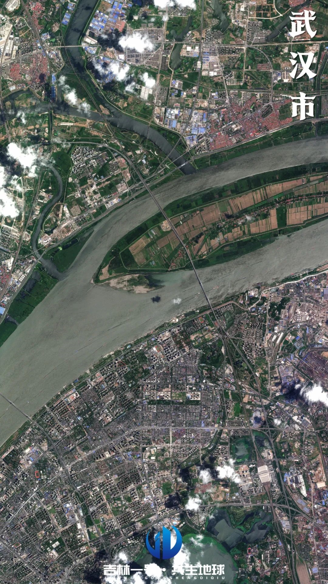
Wuhan:
It is located at the intersection of the Yangtze River and the Han River, with dense lakes, huge water bodies evaporating under the scorching sun, and extremely high humidity.
The tall buildings in the city form "canyons", making it difficult for the heat to dissipate and making the body feel unbearably hot.
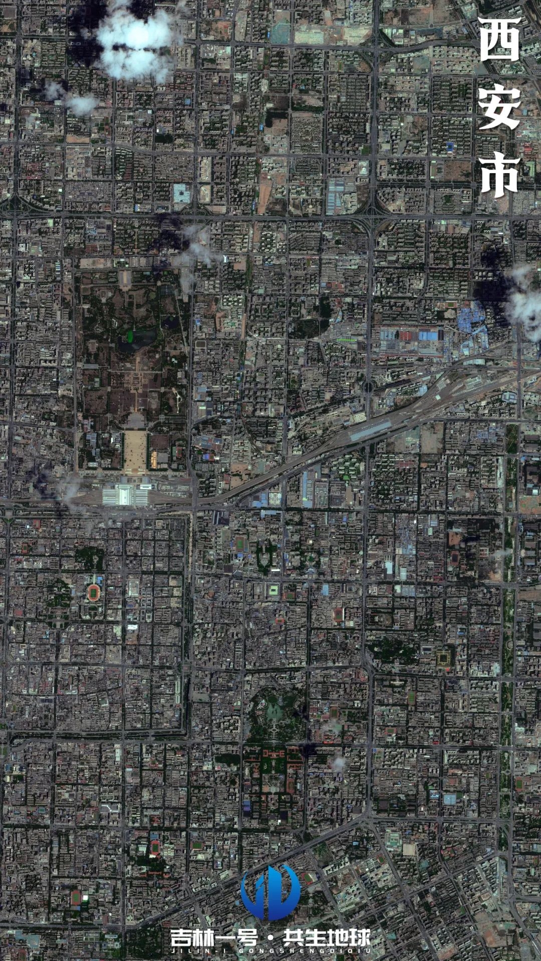
Xi'an:
It is located deep inland, far away from the regulation of the ocean. It is close to the Qinling Mountains in the south to block water vapor, and downdrafts prevail in summer.
There are many sunny days and strong sunshine, and the terrain of the Weihe Plain causes a large amount of heat accumulation.
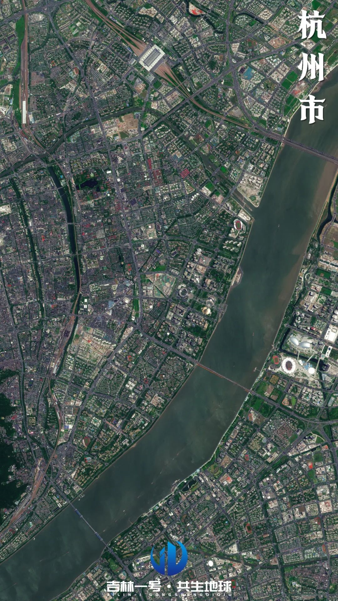
Hangzhou:
It is located in the Hangjiahu Plain with abundant water networks, bringing high humidity.
Rapid urbanization has brought about a significant heat island effect. Water bodies such as West Lake have also intensified the feeling of heat and humidity under high temperatures, and summers are sunny and hot for a long time.
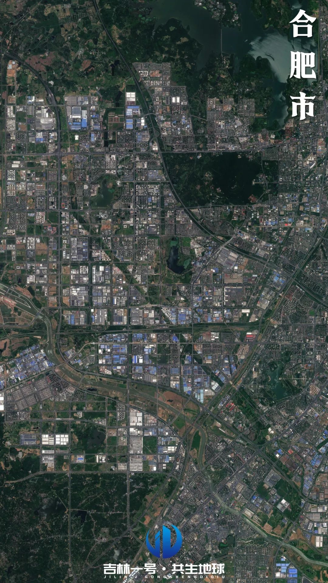
Hefei:
Located between the Yangtze River and the Huaihe River, the terrain is low and flat, the water system is developed and the humidity is high.
The scale of cities has expanded rapidly in recent years, and the heat island effect is significant.
Summer is easily controlled by the subtropical high, with high temperatures and high humidity, making it difficult to dissipate heat.
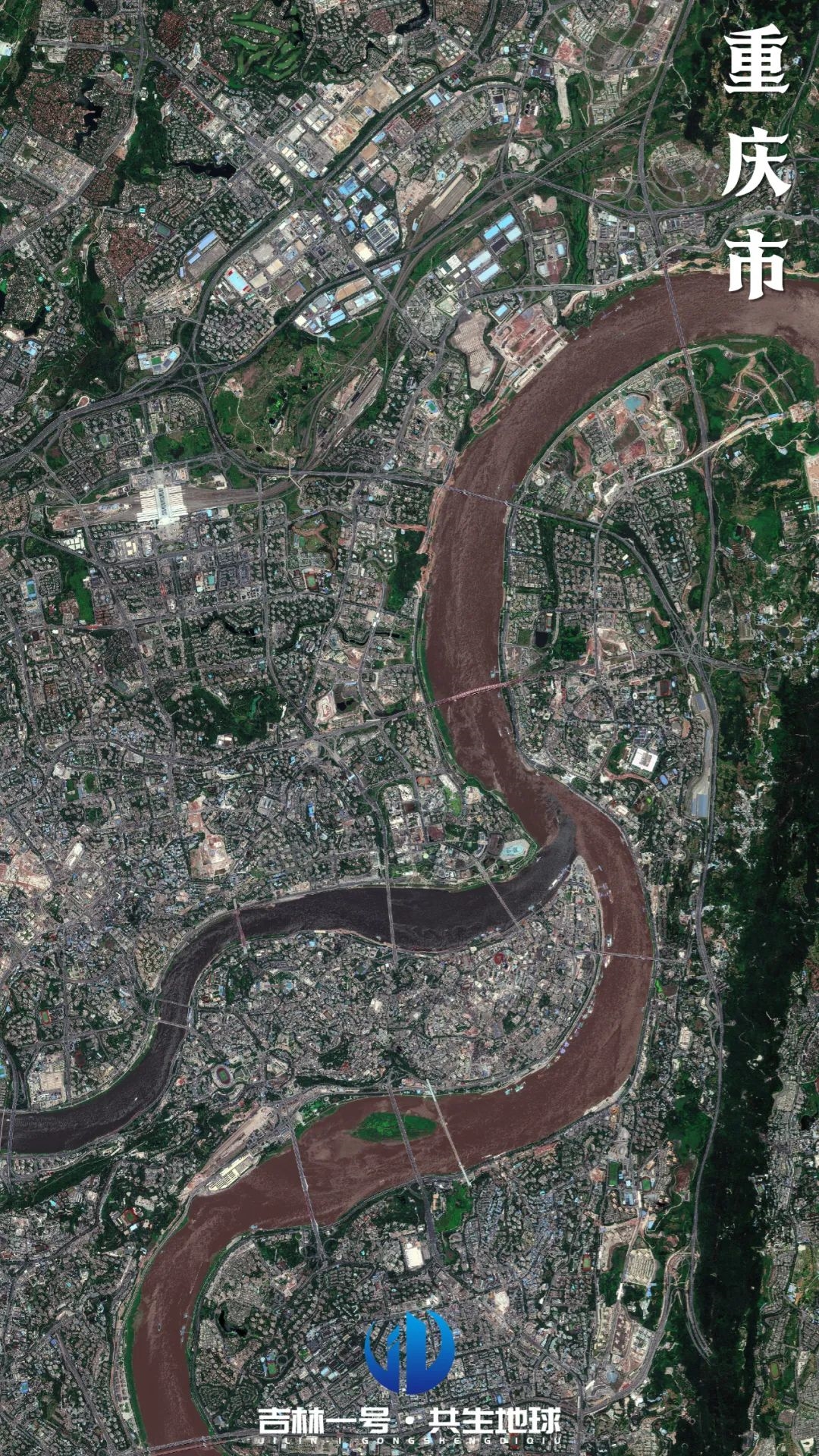
Chongqing:
Located in the southeast of the Sichuan Basin, the terrain is extremely closed and the air mobility is poor.
The Yangtze River and Jialing River pass through the city, and heat accumulates, reflects, and is absorbed again in the basin, forming a "smoldering" pattern.
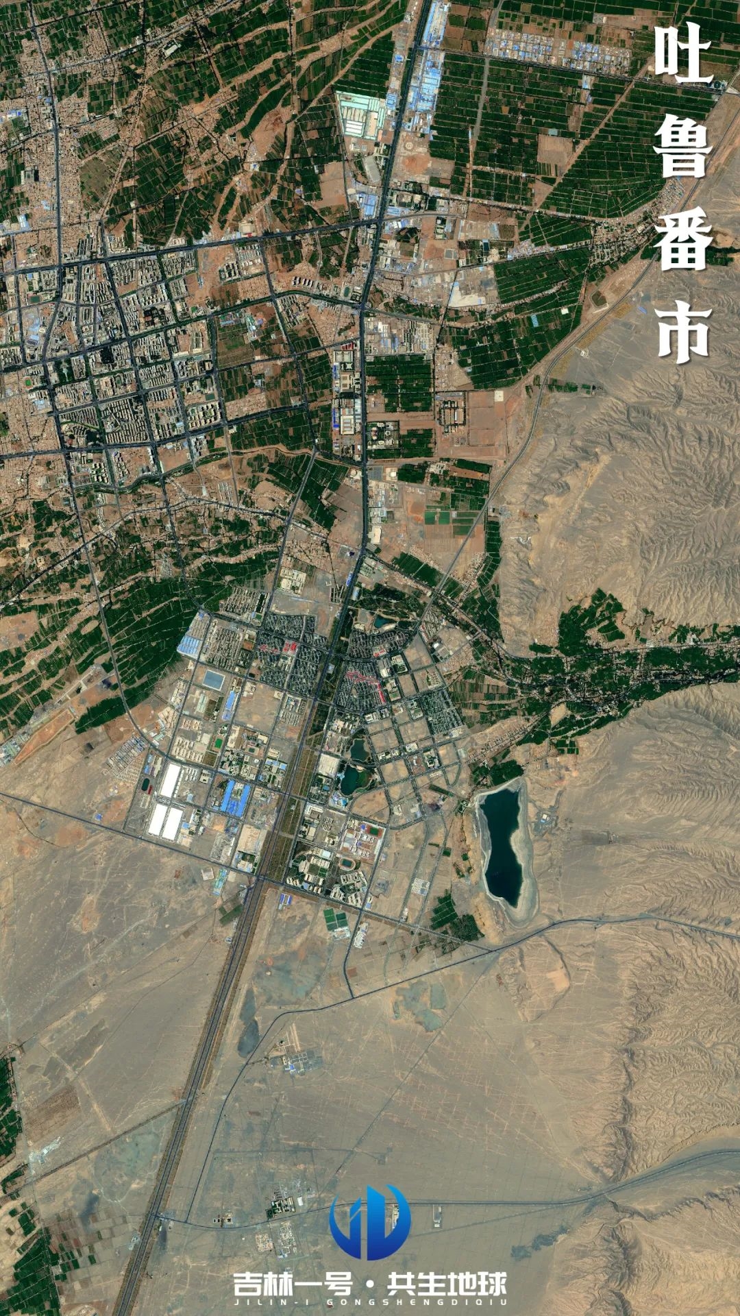
Turpan:
It lies deep in the hinterland of the Eurasian continent and is surrounded by mountains, forming the famous Turpan Basin.
There is very little precipitation and sparse cloud cover. The basin terrain increases the temperature of the downdraft. In summer, the surface temperature often exceeds 70°C, and the extreme air temperature can reach 52.2°C.