
Abstract:
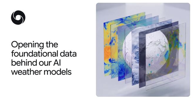
Google DeepMind recently officially released the two basic data sets of SatWeave and PARDIG on which the WeatherNext 3 meteorological model is based. It opens real-time data streams and historical archived data to global scientific researchers and developers, providing data support for weather, hydrology, climate research and application modeling in related fields.
SatWeave is a global satellite image splicing data set that integrates observation data from five geostationary meteorological satellites: GOES-East, GOES-West, Meteosat 0, Meteosat Indian Ocean Star, and Himawari, to overcome the data differences between different satellites in map projection, file format, sensors, scanning rhythm, etc. This data set is updated every hour and retains historical archives for more than ten years. It can support WeatherNext 3 to carry out hour-by-hour global weather forecasts based on real-time cloud images and storm changes. Compared with the six-hour update cycle of traditional analysis data, the timeliness is significantly improved. The scientific research community can also expand the data set and apply it to diverse scenarios such as photovoltaic power generation estimation and wildfire monitoring.
PARDIG is a global precipitation reanalysis data set built based on artificial intelligence architecture. It adopts a spherical graph grid Transformer architecture, uses NASA global precipitation measurement satellite radar observation data as a training reference, and inputs and integrates SatWeave satellite images and European Center for Medium-Range Weather Forecasts atmospheric field data. The spatial resolution of the data set is about 10 kilometers, the temporal resolution is up to 15 minutes, and the average data delay is about 5 hours.
Compared and evaluated by three continent-based radar networks in the United States, Europe, and Japan and more than 36,000 weather stations around the world, PARDIG's precipitation intensity recognition performance is better than that of mainstream similar data sets such as NASA IMERG‑Final. Among them, the ability to identify hourly light and moderate precipitation is more than 30% higher than IMERG‑Final, and its performance in capturing extreme precipitation is outstanding. Thanks to the technical characteristics of directly learning satellite observation information, this data set can still maintain relatively reliable data accuracy in areas lacking ground radar and rainfall observation sites.
It is understood that this time Google will simultaneously open to the outside world the PARDIG historical archives from 1999 to 2026, as well as the real-time data streams of the two sets of SatWeave and PARDIG data sets. All data is hosted on Google Cloud Storage Platform and is made public under the CC BY 4.0 license agreement. (Chun Jun)
Related articles:
DeepMind releases Gemini Robotics 2.5: 96% success rate in pilot sorting at Mercedes-Benz factory
DeepMind releases AlphaGenome 2 to look deep into individual cells to find the connection between genetic variation and disease
Comments