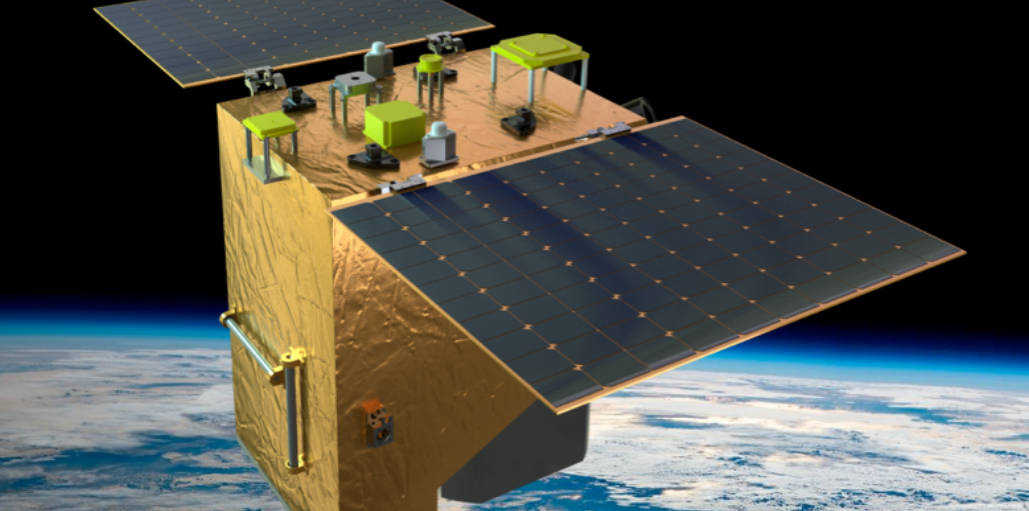
The Jilin-1 satellite has become famous in recent years. Unexpectedly, it can help solve insurance fraud cases!Changguang Satellite officially announced that it has carried out extensive cooperation with China Life Property & Casualty Insurance in engineering insurance and other business fields. This year, it successfully helped China Life Property & Casualty Insurance Tibet Branch crack down on a construction project insurance fraud case, involving a total amount of 390,000 yuan.
China Life Property & Casualty Insurance Group Co., Ltd. also regarded this as a typical case of insurance technology empowerment, and an official report was issued.
According to China Life’s official announcement,In April 2025, a construction engineering company submitted a policy surrender application to China Life Property & Casualty Insurance Tibet Branch, claiming that an insured infrastructure construction project "has never been actually constructed since the insurance was issued" and requested the insurance company to refund the premium in full, involving an amount of 390,000 yuan.
Generally speaking, such large-amount insurance surrender applications inherently involve high risks, especially insurance projects involving construction projects with clear subject matter and long construction periods, and must be strictly verified.
Changguang Satellite used Jilin-1 to provide conclusive satellite image evidence for the case.
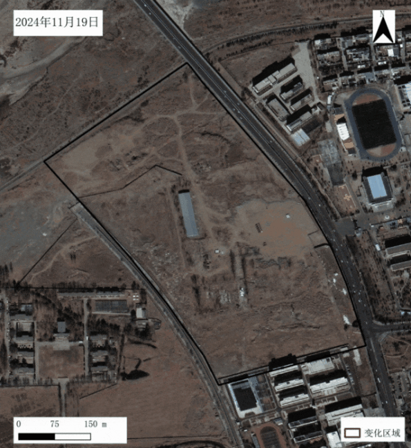
Faced with irrefutable evidence, the policy holder initially tried to defend himself by citing reasons such as "site preparation" and "temporary stacking."
The investigation team further conducted on-site manual investigations, sorted and analyzed the changes in the sheds, machinery, and construction traces where the project was located, and combined it with satellite remote sensing images to form a project construction progress monitoring report. By comprehensively identifying the multi-phase progress and status of the project, it was found that there were multiple construction sites on the project site, and a complete chain of evidence was constructed.
Investigators said that the characteristics shown in satellite images are essentially different from those of temporary piles.Not only can you see the work traces of construction machinery, but you can also calculate changes in earthwork volume through image analysis., these are completely consistent with the characteristics of construction engineering.
This is the first time that satellite remote sensing technology has been systematically applied to insurance anti-fraud investigations in Tibet. It is also a groundbreaking practice.Established a three-dimensional investigation system of "eyes in the sky + ground handling", through precise cooperation between satellite remote sensing macro-monitoring and ground verification, the investigation efficiency has been greatly improved.